ACT NOW to Protect Clean Water

The Proposed Waters of the United States Rule

What’s Happening?

Read More About wotus

The Proposed Waters of the United States (WOTUS) rule is a revision to the 2023 definition of “waters of the United States,” announced on November 17, 2025, by the EPA and the Army Corps of Engineers. This rule would weaken the Clean Water Act by removing the current protections to our nation’s essential wetlands and streams. By changing the criteria for what counts as “water of the United States,” the rule would leave many wetlands and waterways unprotected. This will encourage development and make it easier for pollution to enter our streams, rivers, and wetlands.


Why This Matters for Local Waterways and Wetlands

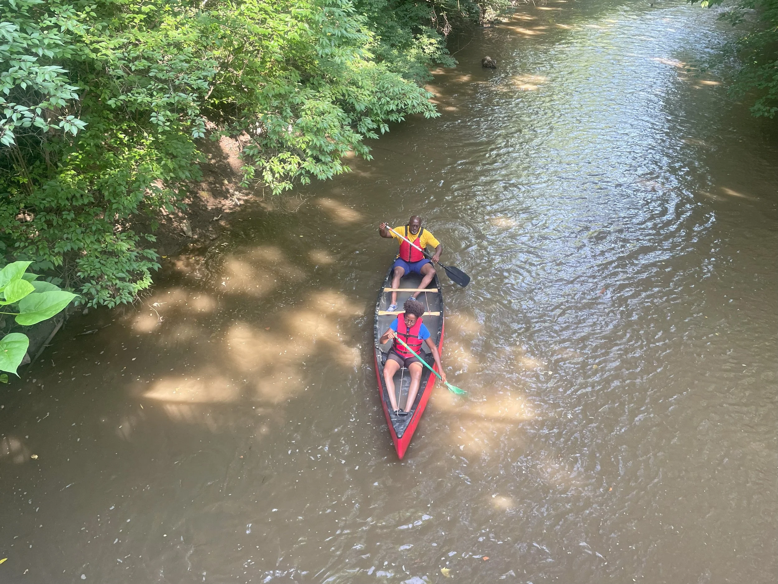
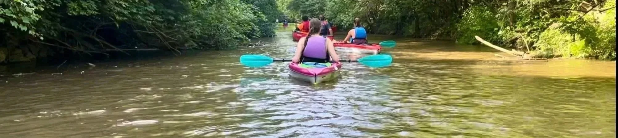
If this rule moves forward, communities across the country - including those within the Mill Creek Watershed - could face serious impacts, such as:

  • Loss of Wetlands: Early analyses estimate that up to 80% of wetlands could lose protection. Wetlands reduce flooding, filter pollution, and support wildlife.

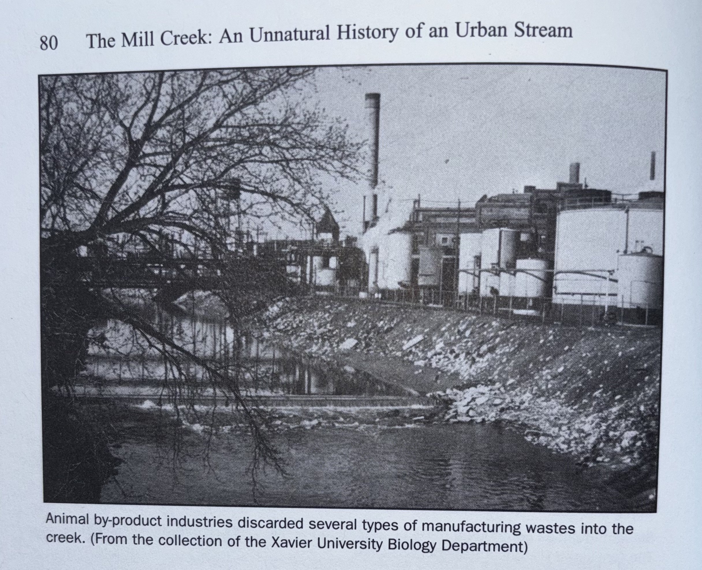
    1. More Pollution in Local Streams: With fewer safeguards, it becomes easier for pollutants to enter small streams that flow into the Mill Creek and our drinking water sources.

    2. Increased Flooding and Flood Damages: Without protected wetlands to absorb stormwater, neighborhoods and roads could face higher flood risks and more costly damage.

    3. Threats to Wildlife Habitat: Wetlands and streams support fish, birds, and countless other species. Losing these areas puts local biodiversity at risk.

Most Americans want strong clean water protections - national surveys show broad public support - yet this rule would remove key safeguards that have protected our waterways for decades.


How You Can Take Action to Protect Clean Water

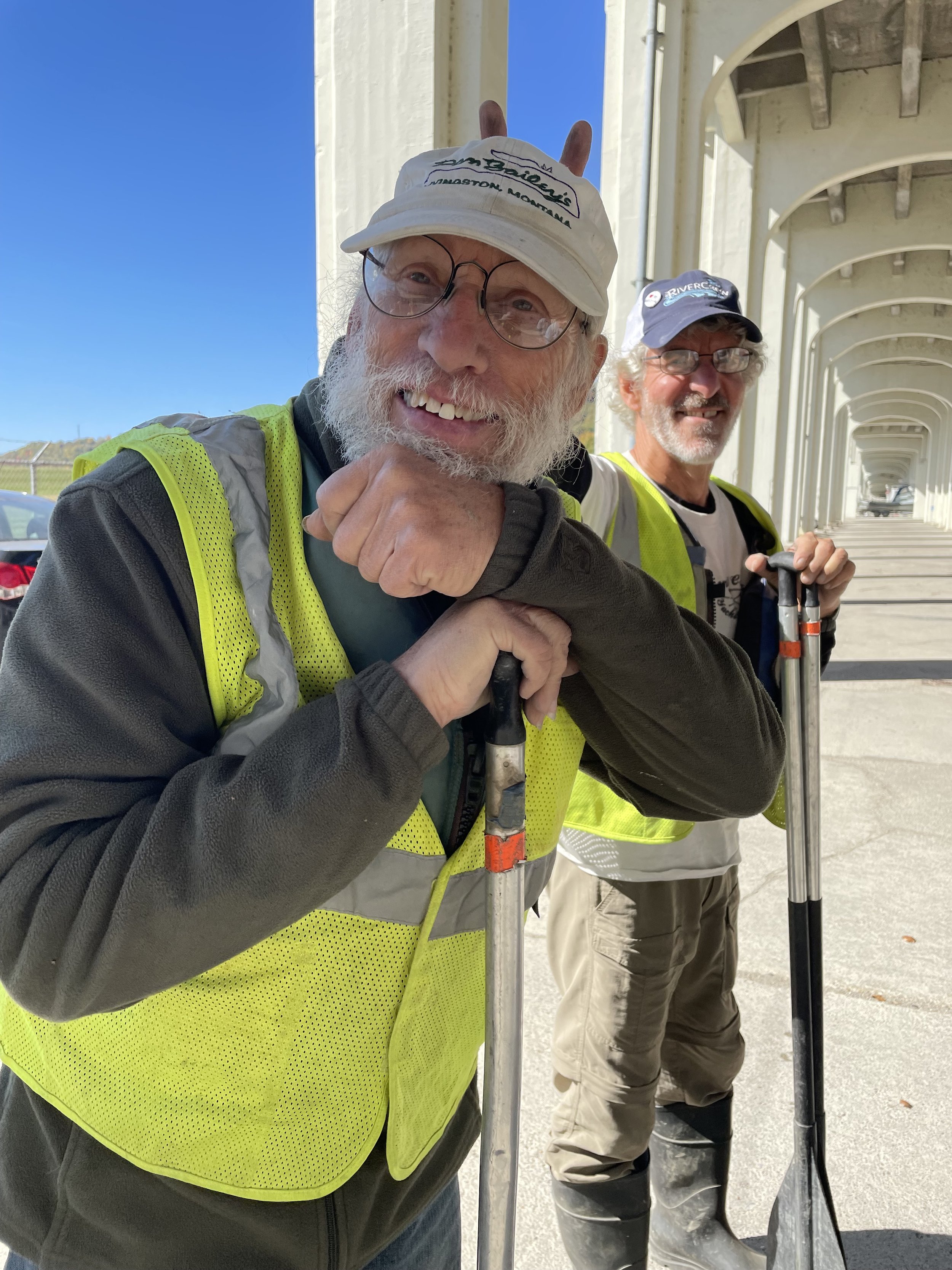
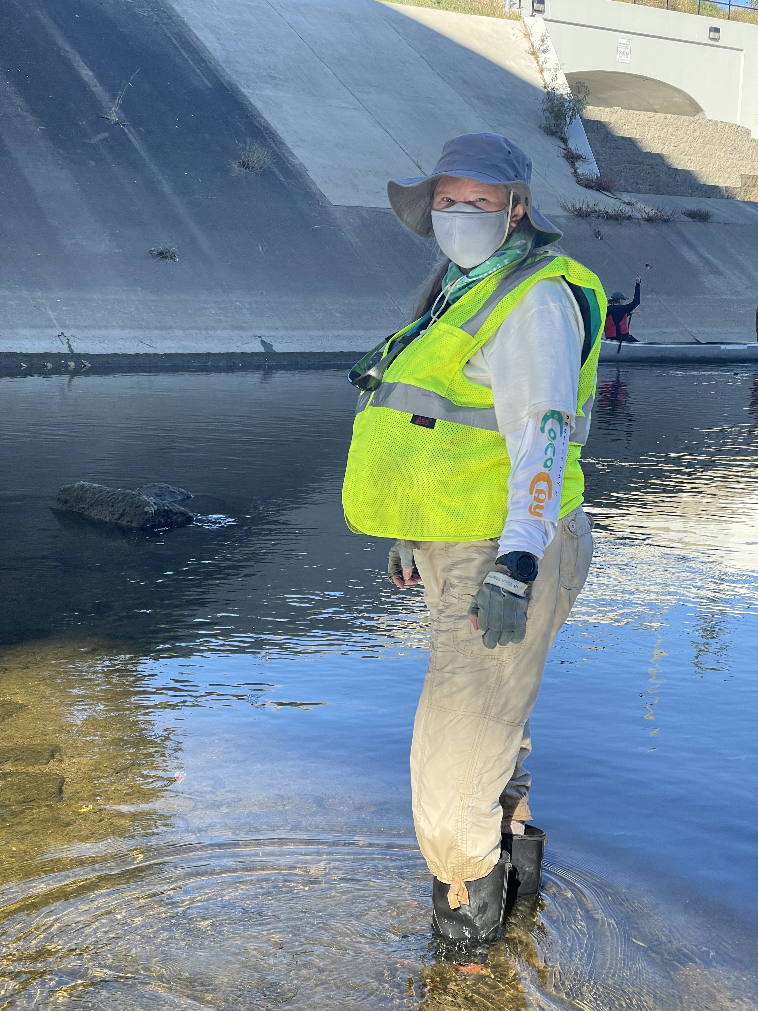
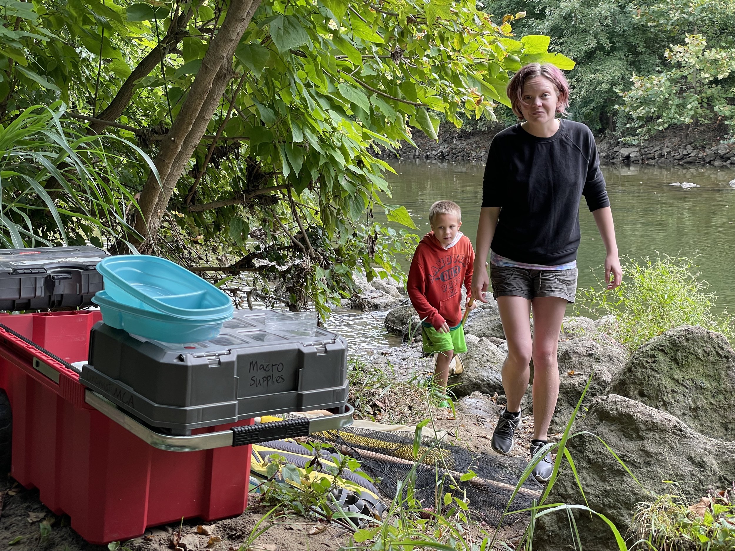
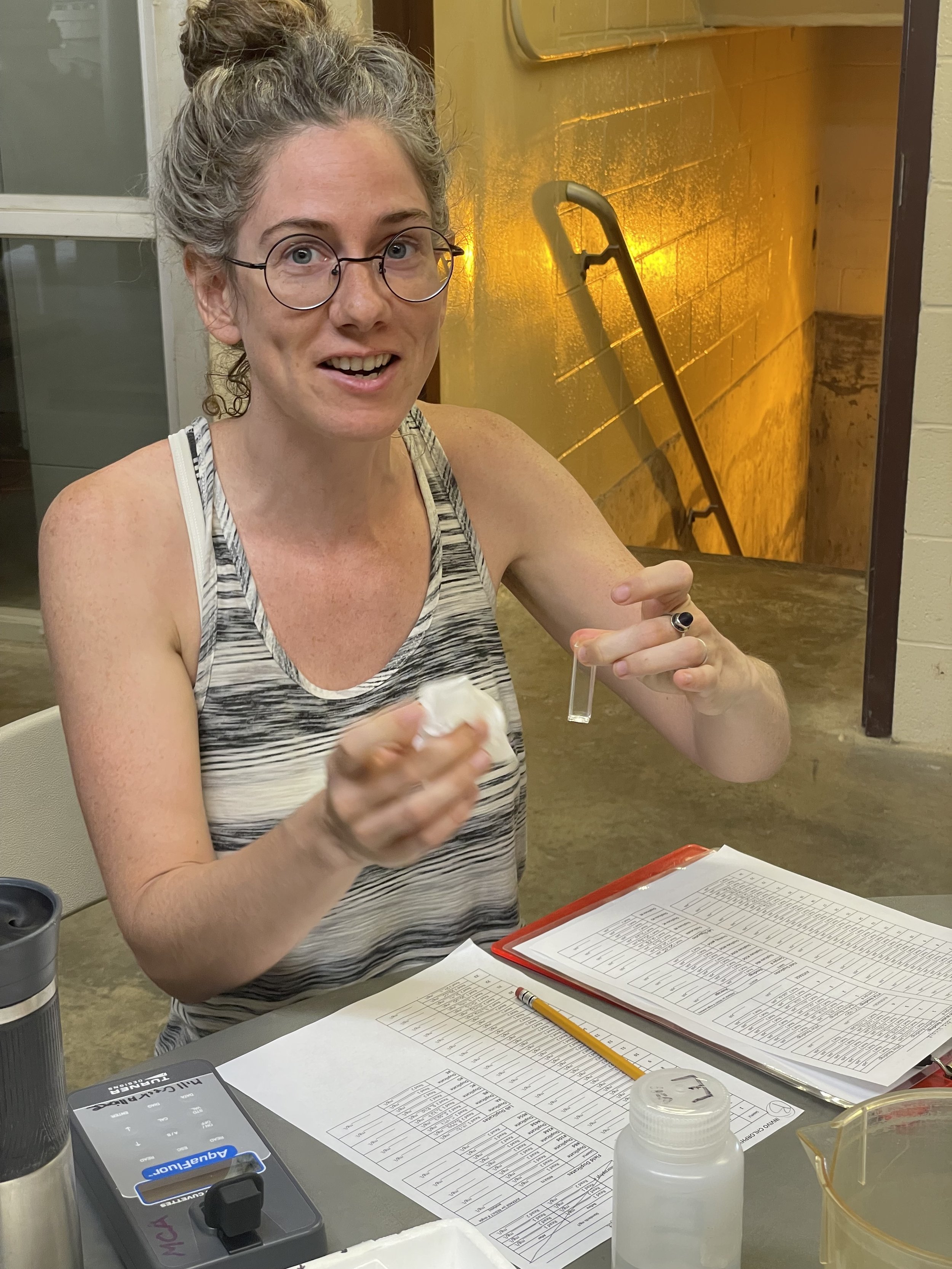
Your voice matters! Help protect clean water by getting involved in the following ways:

Submit a Public Comment
  • Submit a public comment: Share why Mill Creek, its tributaries, and its wetlands matter to you. Personal stories, local experiences, and clear reasons for your concern make comments more effective.

  • Contact state officials: Reach out to your local, state, and federal representatives and urge them to support strong Clean Water Act protections.

  • Spread the word: Share this information with neighbors, friends, and community groups so more people know how the rule could affect our watershed and access to clean water.


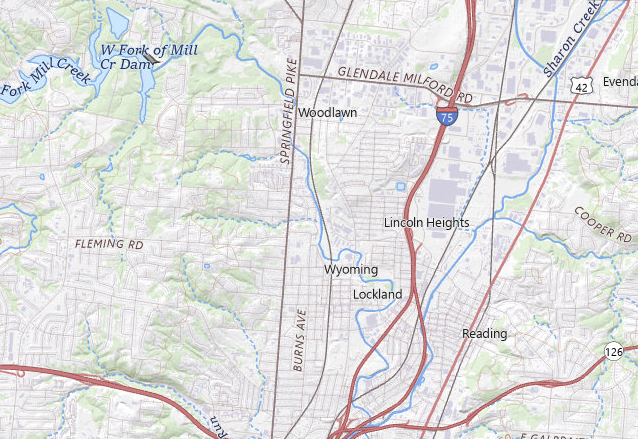
See the Impact: Areas Vulnerable Under New Rule

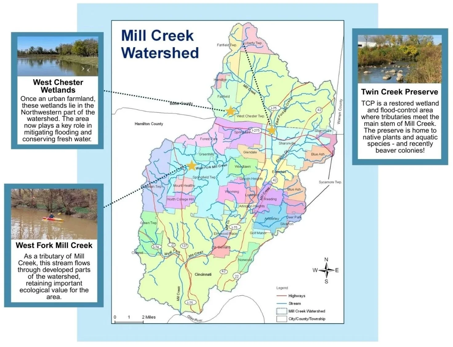
The proposed Waters of the United States rule would remove Clean Water Act protections from many smaller streams and wetlands - even those that help feed Mill Creek. In our watershed, places highlighted above like Twin Creek Preserve Wetland, West Chester Wetlands, and West Fork Mill Creek could lose important protections. Without these protections, more pollution and development could reach our local waters, putting wildlife, flood control, and community health at risk.

Printable Flyer

Canoes & Community Event in Woodlawn/Wyoming

Celebrating Civic Engagement on the Mill Creek
at the 2025 Canoes & Community Event

Nestled in the heart of the I-75 corridor along the West Fork Mill Creek, we find two communities working together to recognize the Mill Creek as a natural and community asset. 

The Beautiful Village of Woodlawn is known for its cozy atmosphere, caring neighbors, and diverse population. With easy access to Glenwood Gardens, a prevalence of shops and a thriving business district, and a motto of “Building a community one person at a time,” it is easy to see why Woodlawn residents love living in the Village. 

The City of Wyoming is a welcoming, safe, and diverse community for its residents and its visitors. Its small-town charm offers opportunities to interact with neighbors, strengthen friendships, and cultivate new ones,including its neighbors in Woodlawn. 

In an effort to bring stakeholders together to talk about the opportunities the Mill Creek offers to our region, Mill Creek Alliance has been holding an annual event called Canoes & Conversations in different watershed neighborhoods since 2019. Guests are invited to learn about the watershed and discuss the social, economic, recreational, environmental, health, and transportation benefits of the Mill Creek’s pedestrian and water trails. With canoe trips, bike rides, nature walks, youth activities, keynote speakers, and a free lunch, this event provides something for everyone!

Inspired by Mill Creek Alliance’s annual event, Woodlawn and Wyoming decided to host their own Canoes & Community celebration of the Mill Creek as a community asset in July 2025. Collective work by Woodlawn Council, Woodlawn Public Works and Recreation departments, City of Wyoming Council, Wyoming Public Works and Recreation departments, Mill Creek Yacht Club, and the US Army Corps of Engineers is what made this event such a success, and showcases what we can accomplish by taking partners and working together.

It took coordinated efforts from both communities over several months to plan all of the details for the day. Woodlawn built a brand new access ramp to the stream in anticipation of this event, which helps to fill a much needed gap in municipal investment in stream access infrastructure on the Mill Creek. Also, the City of Wyoming’s Public Works department worked with a private contractor to remove a large log jam from the creek to ensure a clear passage downstream. 

On a beautiful Saturday morning, Woodlawn and Wyoming welcomed residents to join them for a free 1.2 mile canoe ride on the West Fork Mill Creek. They started their journey just south of Glenwood Gardens and Riddle Road, and paddled down to North Park in Wyoming. From there, guests either walked or rode bikes back to the Woodlawn Community Center. There were so many eager guests that two canoe trip runs were needed to accommodate everyone! Other activities for the day included a scavenger hunt, free lunch provided by Pop-A-Dog and WADA Italian Ice, and a dance performance by the local Global Water Dancers. With 75 attendees and 61 paddlers on 2 trips down the stream, we can certainly call this event a triumph!

For the first time, we saw two communities plan their own celebration of the value of having access to the Mill Creek in their backyards. Woodlawn and Wyoming are also active members of the Mill Creek Collaborative, a comprehensive working group moving the plans forward for the implementation of the Triangle Trail. An extension of the Mill Creek Greenway Trail, the Triangle Trail will connect 12+ municipalities and townships, 3 Great Parks of Hamilton County, and close to 197,000 total residents, to the CROWN trail network in the region.

The success of this event makes it clear that when we invest in the power of community and value of our natural resources, we can truly make lasting change. Community engagement transforms environmental stewardship from an individual act to a powerful collective movement. Ultimately, [it] fosters a sense of ownership and responsibility. When people feel connected to their environment, they are more likely to protect it, [and to] become stewards of the land, not just users of it. (cite)

For the past 30 years, Mill Creek Alliance has been working to improve water quality, habitat, and natural stream function in the Mill Creek, which has resulted in an urban stream restoration success story. We see this as a model for watershed communities to continue to work together in creative partnerships to engage their residents, steward their natural spaces, foster social cohesion, and celebrate their natural assets. Mill Creek Alliance thanks Woodlawn & Wyoming for their partnership and celebration of the stream, and will continue to work to support and uplift community efforts to make the Mill Creek a valuable public resource.

~ Blog written by Beth Himburg, Mill Creek Alliance Staff

Part 2: How Industrialization Shaped Mill Creek

by Rufaro Bulathsinghalage, Environmental Education AmeriCorps Member

Industrialization’s Impact on Mill Creek: 

Once the Miami, Shawnee and many other Native American tribes were removed from the region, and the waterway was renamed to be more fitting for industry, the Mill Creek changed rapidly and dramatically. The clearing of the Mill Creek Valley began in 1822 with the first two northernmost mills developed and installed in what we now know as West Chester. The novel “The Mill Creek–An Unusual History of an Urban Stream” by Stan Hadeen includes a quote from Lucy Braun–a deciduous forest ecologist. Braun writes that “nothing of the original vegetation of this part remains” and that “it is all farmland” in reference to the Upper Mill Creek Valley. The upland hillside forests were deforested into woodland pastures for livestock (cows, sheep, swine) to graze. The pigs were known to over-graze, constantly overturning the soil, destroying roots and timber in the process.


Decreases in Biodiversity:

Maple, beech, and hickory trees were harvested for firewood while polar and walnut trees were chopped for lumber. The leather industry in Cincinnati boomed, resulting in a high demand for tan bark, so, all oak trees in a 75-100 mile radius were “ruthlessly slaughtered”. By 1881 deforestation had eliminated the woodlands in Hamilton County by 15%. 

Not only did the valley’s trees suffer, but so did its wildlife. Mammals such as the black bear, gray wolves, and mountain lions disappeared soon after their forested habitat was destroyed. Fish like the River Chub and the Darter vanished, likely a result of bottom-smothering sedimentation from the destruction of the watershed’s forest cover. Other fish populations became fatigued by over sedimentation of the waterway and likely suffered asphyxiation due to clogged gills, disruption of mating traditions as it became difficult for them to navigate the river, and overall habitat degradation. Macroinvertebrate species decreased and water quality levels plummeted–following was a decrease in their predators, further reducing biodiversity. Deforestation and the cultivation of farmland increased sediment load in the river, decreased animal biodiversity and increased the intensity of various parameters such as temperature, sunlight, nutrients, floods, and droughts. Woodland removal increased summer shoreline and streamwater temperatures, driving away thermally sensitive invertebrates and fish. (Ch. 2-3 in The Mill Creek: An Unnatural History of an Urban Stream by Stan Hadeen book)


Erosion and Flooding:

Deforestation does not go without its consequences–undisturbed forests experience soil erosion rates less than 50 tons/mi2/ year while cleared forests experience soil erosion rates upwards of 10 times that amount. Deforested watersheds are also susceptible to experiencing higher floods of shorter duration. This can be witnessed in the countless and devastating floods that occurred during the 1800s. 

1805: Caldwell’s mill in present-day Carthage was swept away in a flood that followed heavy rainfall. 

1808: A flood destroyed the first bridge built over Mill Creek.

1822: A 120-foot bridge constructed in 1816 was demolished by a flooded Mill Creek. 

(Ch. 2-3 in The Mill Creek: An Unnatural History of an Urban Stream by Stan Hadeen book)

As Cincinnati grew, so did its industry. During the Industrial Revolution, beginning in 1760, Cincinnati became an industrial powerhouse. Mill Creek was a vital resource in its growth, as it provided large, consistent flows of water, driving their machinery. Lockland, a watershed city, even installed a series of four locks that provided water to early factories. 

The lush, nutrient-rich floodplains of Mill Creek also attracted agricultural businesses. In the 19th century, many of Ciniannti’s plant and produce products were grown on nearby Mill Creek Valley fields. 

‘Porkopolis’ , is a potential catalyst for the devastating dumping that occurred in Mill Creek. Porkopolis was an extremely lucrative business in Cincinnati, however, like many things, it did not come without consequences, in this case–waste. By the early 20th century, Mill Creek waters were discolored by pig blood–a brownish-red effluent that even gave Mill Creek the nickname ‘Bloody Run’. Dairy  and other industries also contributed to what seemed to be endless dumping in Mill Creek. Drainage pipes from many of the city’s dairy industries dumped into Mill Creek, while the Mandery Pure Milk Company allowed its waste suds from churning and waste waters to flow down Mill Creek from upstream operations. The Walnut Hills Laundry Company drained roughly 20,000 gallons of wash water into a Mill Creek tributary and two of Locklands paper mills released about 3 million gallons of a “dark brownish black liquid containing much finely divided suspended matter” into the river–just to name a few. (Ch. 6-7 in The Mill Creek: An Unnatural History of an Urban Stream by Stan Hadeen book)

Nonetheless, the city continued to develop and over time one of the valley’s primary hazards continued–flooding. Flooding is something that the Mill Creek Valley had endured for hundreds of years; I even mentioned it when discussing the Native American history in the watershed. Not only were countless bridges destroyed by the floods that followed seasons of heavy rainfall, but the communities that surrounded the river constantly suffered the detrimental effects of severe flooding. In order to combat this, the U.S. The Army Corps of Engineers decided to channelize the river. Channelization is the process of straightening or redirecting natural streams in an artificially constructed stream bed. In theory, channelization has small benefits–it expands the area of fertile land in riparian zones (streambanks); in turn allowing for more efficient and productive farming practices. In the case of Mill Creek, however, channelization was overall a detrimental development of the waterway. In general, some of the drawbacks of channelization are that the channels provide the waterway with less volume to hold excess water during floods, it creates a steeper streambank leading to a faster flow of water running down the banks, which in turn increases erosion and over sedimentation of the waterway. Although the Army Corps of Engineers only met 40% of their goal, these are issues that we continue to combat today.  

I know that this seems to be a devastating story of how stewards of the land were pushed out of the Mill Creek Valley, just for its colonizers to develop and destroy the area, but after Mill Creek was named one of the most endangered rivers in North America by the American Rivers in 1997, community members and nonprofits began to shift the current. 

After 30 years of dedication, passion, and hard work, Mill Creek has been revitalized as a natural and community asset. With Education programs teaching the community about Mill Creek’s history, Restoration projects finding ways to mitigate the infrastructure that is damaging to the natural ecosystem, Recreation programs to re-connect people to the waterway, and a Water Quality Monitoring program that monitors the health and condition of the waterway–Mill Creek is making its resurgence one day at a time. 


Do not allow this story to create a negative image of the waterway and those who contributed to its detriment. Let this be a story of resilience, hope, and inspiration. Empowering you to connect with the river that may lie in your backyard and contribute to the movement that is restoring its vitality. Every step, no matter how small, plays a role in the healing process. The story of Mill Creek is a testament to what can happen when communities come together with a shared vision for restoration and conservation. It’s a reminder that even in the face of adversity, collective action can foster positive change. Now is the time to not only reflect on the past but to look forward to a future where Mill Creek, and waterways like it, thrive once again—nurtured by the very hands that once harmed them. Your involvement matters, and together, we can ensure that the river’s story continues to be one of revival and connection for generations to come.

PART 1: The Revitalization of Mill Creek and Its Native Roots

by Rufaro Bulathsinghalage, Environmental Education AmeriCorps Member


Introduction: 

The story of Mill Creek in southwest Ohio is one of both devastation and hope, shaped by indigenous stewardship, colonial expansion, industrialization, and environmental restoration. From the ancient presence of Native American tribes like the Miami and Shawnee to the unjust removal of these tribes through deceptive treaties, the land surrounding Mill Creek has witnessed significant transformation. As settlers renamed the Maketewah River to Mill Creek and began reshaping the valley for agricultural and industrial use, the waterway suffered severe degradation. But even as the river became a symbol of environmental harm, the community rallied for its revival. Today, Mill Creek is making a remarkable comeback through ongoing restoration efforts, education programs, and community-driven initiatives. Understanding this history is key to preserving Mill Creek and other local waterways.


Timeline of Native American History:

Native American history in the southwest Ohio region began with the Paleoindians (ca. 10,000–7500 BC), who settled along the Ohio and Miami Rivers, utilizing the land’s resources for food, water, and tools. The area's dense forests, described as ‘The Garden of Eden’, provided abundant wildlife and plants for sustenance. These early tribes practiced sustainable land and water management, ensuring the resilience of the ecosystem. As time progressed, the Archaic Culture (ca. 8000–1500 BC) emerged, with nomadic hunter-gatherer society developing early agricultural practices, including the ‘Three Sisters’ method of growing corn, beans, and squash together to improve soil fertility.

The Woodland Culture (ca. 1000 BC–1000 AD) marked an era of innovation, with the development of pottery and the construction of earthen mounds, like the Miamisburg Mound in Ohio, which offer insight into Native traditions. This period transitioned into the Fort Ancient Culture (Protohistoric period, post-AD 1400), where farming practices continued, particularly the cultivation of the Three Sisters. The Fort Ancient Culture influenced tribes in southwest Ohio and southeast Indiana, some of which evolved into historically documented groups as they entered the early recorded history period (SOURCE).


1750’s-60’s

The end of the French and Indian War marked the shift in rule of land in North America with the Treaty of Paris (1763). The Treaty of Paris relinquished French territories east of the Mississippi River to the English. As English settlers began to move further north, disagreements between English settlers and the Miami and Shawnee tribes arose. European settlers were attracted to the Mill Creek Valley because of the resources that it provided (such as fertile soil, navigable trails, food, shelter, and water power), however, the land was occupied by Native tribes. These tribes inhabited the Mill Creek Valley, but with the arrival of English settlers, they were forced to establish more watch points along the Ohio River, marking a boundary between tribal lands and settler encroachment. 


In 1763, the K5 Boundary established a boundary that prevented  English settlers from expanding west–England’s attempt at reserving land for Native American tribes (SOURCE). This was an attempt to reduce tensions between Native American tribes and English settlers, as England simply wanted to trade resources with Native Americans rather than further encroaching on Native American lands. English settlers did not respond well to this and felt as if England was treating them worse than it was treating Native Americans (SOURCE). As the American Revolution approached, English settlers may have used the Revolution to release their frustrations on Natives and the British Empire-further contributing to the violence erupting between settlers and Natives.


Ohio Removal:

The Ohio Removal occurred gradually through deceptive tactics, including unfair treaties negotiated by federal agents, intentional miscommunication by translators, and coercion of Natives under threat of violence. Notable treaties from this period include the Fort Stanwix Treaty (1784), Fort McIntosh Treaty (1785), and the Treaty of Greenville (1795), which allowed European settlers to claim Ohio for farmland, disregarding the Miami and Shawnee tribes who already inhabited the region. The culmination of these treaties led to the displacement of these tribes. Those who refused to relocate were simply no longer recognized as Native American people and the United States government would also refuse to record someone’s existence or intentionally misrecord their information (SOURCE). Following the Treaty of Greenville were various acts towards removing Miami and Shawnee tribes west of the Mississippi River. 

July of 1803: President Thomas Jeferson gives the first official proposal for the removal of Natives. His rationale was that Natives would be free from further white interference and would never be displaced from their home again. 

January 1825: President James Moore presented a definite removal policy to Congress.  

1829: President Andrew Jackson dedicated himself to relocating eastern Natives west of the Mississippi River. 

May 1830: The Indian Removal Bill was passed and it provided President Jackson with the authority to forcefully displace Native people. 

As a result, Miami, Shawnee and many other Native tribes in Ohio, Indiana, and Illinois unwillingly relinquished most of their land, maintaining small reserves. The Wyandot Tribe relinquished 4.5 million acres of land in Indiana, and the Miami tribe relinquished 6.7 million and 297,000 acres of land in Indiana and Ohio respectively (SOURCE). When the United States finally won its independence from England, there was motivation to begin clearing the land in the Midwest. In turn, thousands of Natives were forced to relocate to the lands beyond the Mississippi River. 


Renaming of the Maketewah River:

Once the Miami, Shawnee, and other Native tribes were removed from the southwest Ohio and southeast Indiana regions, American settlers were steadfast and eager with clearing the land and developing it to be suitable for eastern settlers. In order to make the Mill Creek Valley suitable for settlers, some changes were made. The most notable being the renaming of what Natives formerly called the “Maketewa River” to what we now know as the “Mill Creek”. The word "Maketewa" likely translates to "it is black" or "it is dark," and the Mill Creek Valley was historically abundant with Black Walnut trees (Juglans nigra). The walnuts from these trees contain a polymer called lignin, which, when exposed to water, undergoes a chemical reaction that turns the water a dark brown or black. This suggests that the dark color of the water may be linked to the presence of black walnut trees. 

The renaming of the Creek began with John Cleves Symmes, a congressman from New Jersey with an interest in western colonization. Symmes took a trip to the “Ohio country” in 1787 and followed up his visit with a contract with the U.S. Treasury Board for his Miami Purchase. His purchase included a region east of the Great Miami, the region known as the Maketewa watershed. Symmes released various notices, asking for permission to purchase and develop the land, and in doing so he changed the name of the river from the “Maketewa River” to the “Mill Creek”, in doing so, he created a subtle marketing message that encouraged the development of industry along the waterway. (Ch. 1 of Stan Hadeen Book) This painting is on display at the Cincinnati Museum Center (CMC). It is displayed at the CMC Objects and Fine Art Collection and it showcases the western hills and Mill Creek alongside them. The portrait originates from the early 19th century and is the “B&O Railroad-Millcreek Exchange” looking South from Hopple Street. 

As I researched the rich history that lies within the Mill Creek Valley, I found myself going down many rabbit holes—uncovering more and more about the development of the city. In need of a break, I decided to retreat to the Norwood Mound, located in Norwood, Cincinnati. This mound, rumored to be a former watchpoint, overlooks the southeast cities of Cincinnati and offers a sweeping view of the Ohio River. Standing there, I couldn't help but reflect on the land’s deep connection to the Miami and Shawnee tribes who once called this region home along with many others. 

For now, I leave you with this moment of reflection.

Join me next week as I continue to delve deeper into the fascinating history of Mill Creek, uncovering the stories of those who shaped its past and the efforts that are helping to restore it today.

LIMITED TIME! Double Your Donation

THANK YOU to all the generous donors who contributed to this challenge and helped raise over $26,000! While the donation matching challenge is now complete, its NEVER TOO LATE to donate!

In December each year, Mill Creek Alliance appeals to individuals to make donations that support our programs in Restoration, Education, Recreation, and Water Quality.  Annual Appeal Newsletters will be sent out in the weeks to come. To meet our 2024 fundraising goals, we still need to raise $15,000.  YOU can help make sure all our programs have the financial means they need to keep going strong.

Donate NOw

For a limited time, your gift has a chance to double its impact! The first $12,000 donations in December will be DOUBLED thanks to our generous donors, the Smale Family Foundation and 2 Anonymous Donors.

Donate BEFORE December 31st to help us reach our fundraising goal!

TRIPLE Your Donation

If you work for a company that offers a matching gifts program, you could TRIPLE the value of your donation.

A few of the Cincinnati companies that offer matching gifts programs include: GE, Duke Energy, Pilot Chemical, KAO, Cengage, Verizon, Apple, Gannett Company, Norfolk Southern, and many banks!

See if your employer will match your donation

Thank You!

We are grateful for everyone who gives their time, energy, and resources to support our work in the Mill Creek Watershed! We could not do this without you.

Beaver Facts and Myths

Separating the Truth from Fiction
by Patrick Owuraku Kwaah, MCA Intern

Beavers in North America have long captured people's imagination with their industrious behaviors and unique adaptations. However, along with the facts, numerous myths and misconceptions about these creatures have circulated. In this blog, we embark on a journey to uncover the truth about beavers while debunking common myths that have persisted through the years.

First, the North American Beaver, Castor canadensis, is the largest living rodent in North America, with adults averaging 40 pounds in weight and measuring more than three feet in length. The North American beaver has 24 subspecies, with a variety found across the continent as a result of the reintroductions of different beavers to different places. Often regarded as North America’s most iconic builders, they play a remarkable and often underestimated role in shaping the continent’s ecosystem. From constructing intricate dams to creating thriving wetland habitats, these industrious creatures are essential for maintaining the balance of nature.


Did You Know?

Mill Creek is home to a number of beavers.
Beavers along the creek signify a healthy waterway and thriving ecosystem.

Beavers have been spotted in Northside, Winton Hills, and the northern wetland areas in the upper watershed communities. Head to the Salway Park Mill Creek Green Way Trail and keep your eyes peeled for these furry creatures or signs of their presence.


Myth 1: Beavers are aggressive and dangerous

The myth that beavers are aggressive and dangerous likely stems from a misunderstanding of their behavior and defensive instincts. Beavers are generally peaceful and tend to avoid confrontations with other animals, including humans. However, if a beaver feels threatened or cornered, it may exhibit defensive behavior. This behavior can include warning signals like tail slapping on the water, vocalizations and even posturing to deter potential threats.

Facts: Beavers do not pose threats to humans and are not predatory animals. Their natural behavior is focused on their survival and maintaining their dams and lodges. Rare instances where a beaver might become more assertive is when it perceives a threat like encroachment of its dams by humans or other animals.


Myth 2: Beavers are destructive pests

Coexistence Strategies: Various coexistence strategies such as flow devices, pond leveling, and tree protection can help minimize the conflicts with beavers.

While beavers can cause challenges for some human activities, they are not inherently destructive pests. Understanding their behavior and using coexistence strategies can mitigate conflicts. Beavers build dams to create wetland habitats, control water flow, and protect their lodges. These dams can sometimes lead to localized flooding, which might be viewed as destructive. Similarly, beavers cut down trees for food and to use in their dam and lodge construction. This can lead to tree damage on private properties.

Fact: Beavers play a vital role in wetland conservation: Their dam-building activities can help create wetlands, which serve as essential habitats for various wildlife and are vital for water filtration and storage. Beavers, also, build dams to control water flow and protect their lodges. Scientists and researchers recognize that beaver activities are essential in creating and maintaining wetland ecosystems, improving water quality, and supporting biodiversity.


Myth 3: Beavers fell trees for food alone

This myth oversimplifies the behavior and reasons behind tree-cutting. Beavers are well-known for their tree-cutting activities, but it is important to understand that they use trees for multiple purposes, not just as a food source.

Fact: While beavers do eat tree bark and woody parts, they also use trees for dam and lodge construction. They similarly use tree branches and logs as underwater caches. These underwater caches of food sustain them through the winter when fresh food is scarce.


Myth 4: Beavers are clumsy and slow on land

This myth arises from the misconception that these animals are primarily aquatic and not well-suited to terrestrial environments. Their webbed feet, waterproof fur, and large, paddle-like tails are well-suited for efficient movement in water. However, beavers are more adaptable and agile on land than many people realize.

Fact: Beavers can move effectively and efficiently on terra firma, demonstrating agility, strength, and adaptability. Beavers can walk, run, and even climb slopes, using their strong legs and sharp claws.


Quick Fact #1

The Giant Beaver, Castoroides, is an extinct genus of enormous, bear-sized beavers that lived in North America, Ohio too, during the Pleistocene era. An adult giant beaver could weigh about 220 pounds.

Quick Fact #2

North American Beavers are monogamous and family-oriented: They live in family units, which typically consist of a monogamous pair and their offspring. They work together to maintain their lodges and dams.

Quick Fact #3

Beavers' teeth grow continuously throughout their lives and daily usage helps to trim them down. If beavers were unable to file down their teeth, they would overgrow which could lead to serious health problems and even death.


(This photograph of a beaver was captured on the Mill Creek in Spring 2023. Photo Credit: Johnny Dwyer of Mill Creek Alliance)

MCA Volunteers in Action

Celebrating MCA volunteers because our work would not be complete without them!

Learn More about Volunteering at MCA